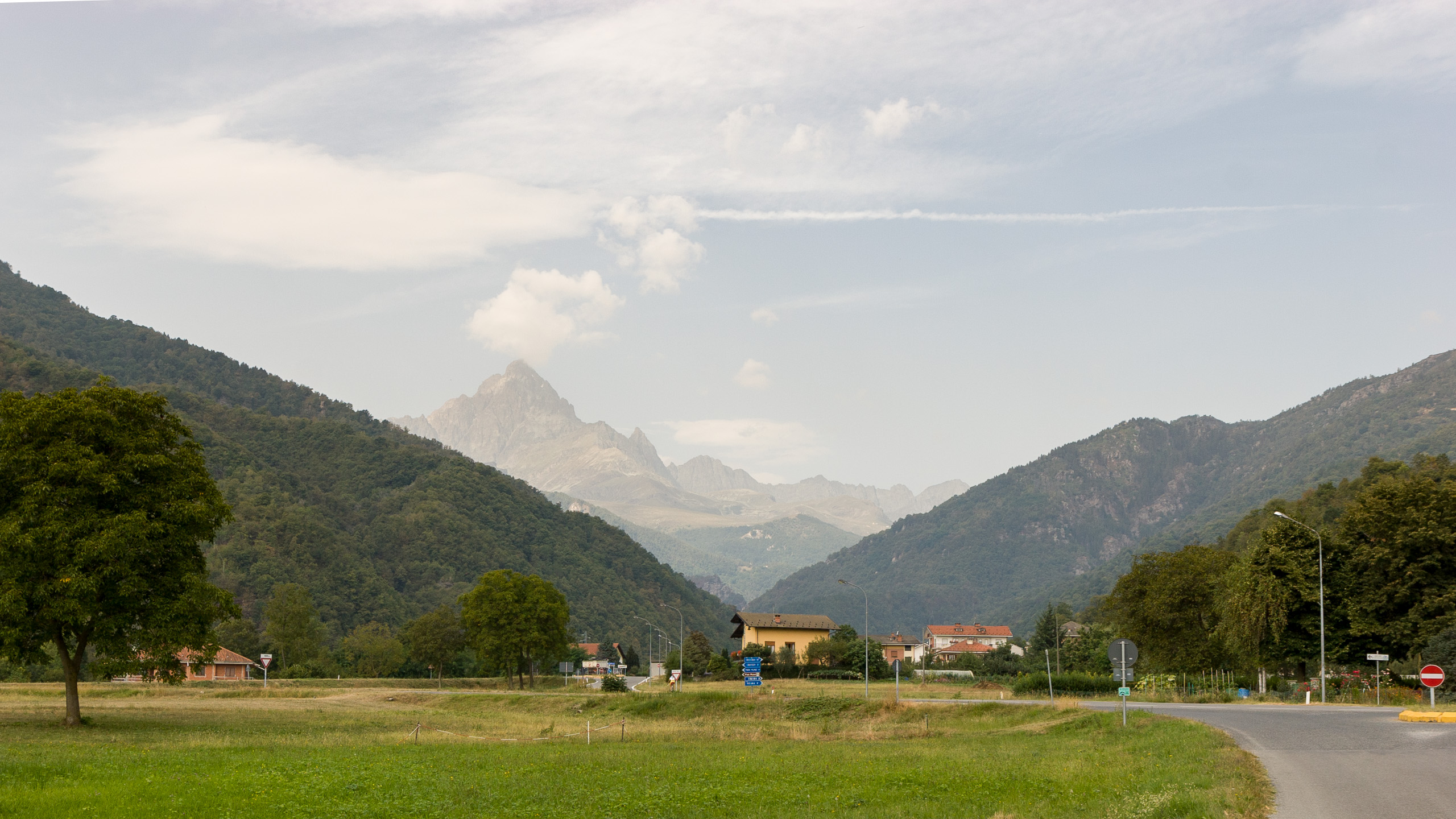
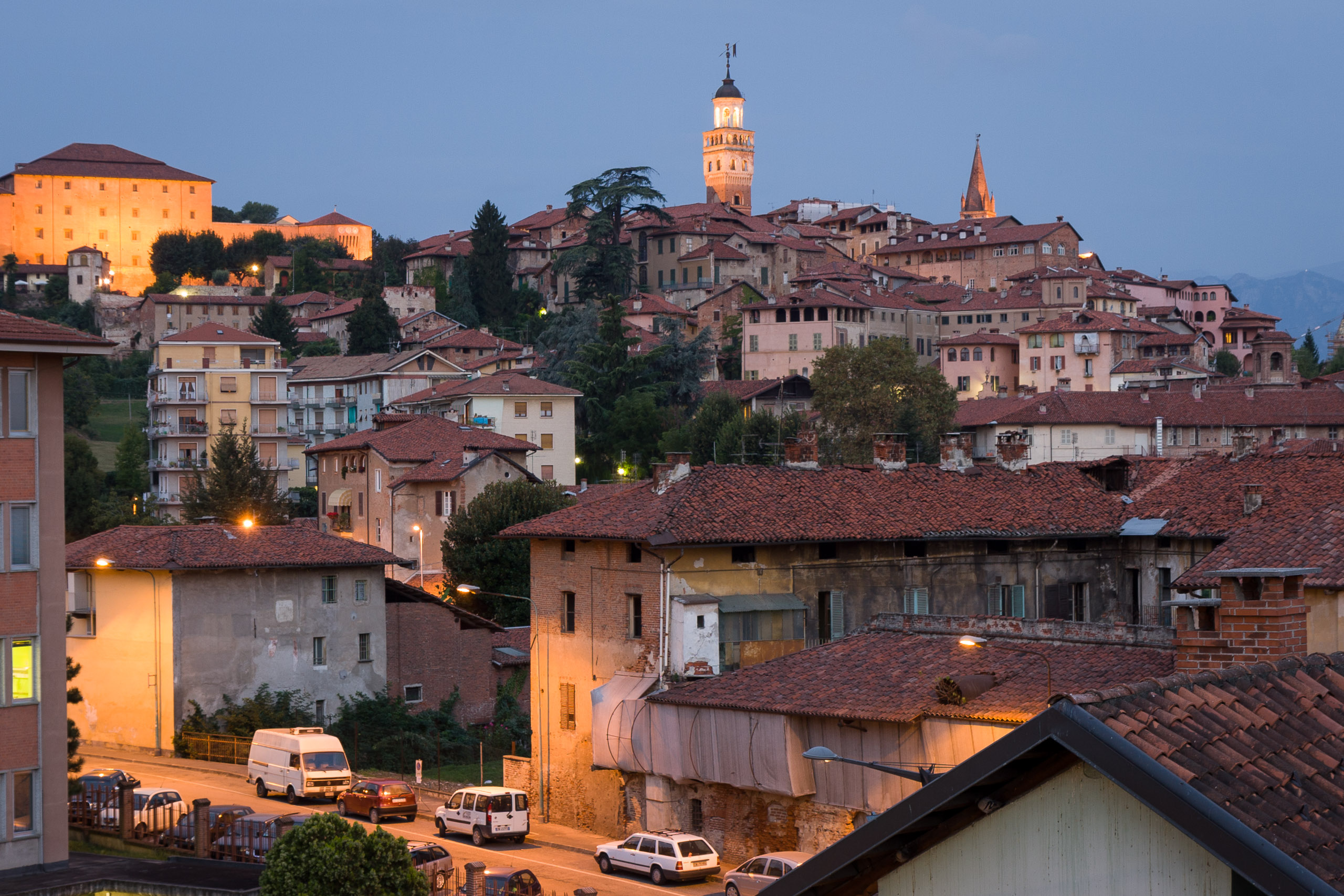
Today didn’t work out as planned. The idea was to take a bus from Saluzzo to Paesana, then take another bus on up the valley to Crissolo. From there I was hoping to get some nice fresh alpine air and hike around with an amazing view of Monviso, a jagged mountain and birthplace of the Po river.
Didn’t read the bus schedule carefully enough, though, and didn’t notice that the bus I needed at 10:15 only ran on Fridays; the next bus to Crissolo wasn’t until mid-afternoon. So… I decided to walk: 12 km along the road, and 700m UP the mountain.
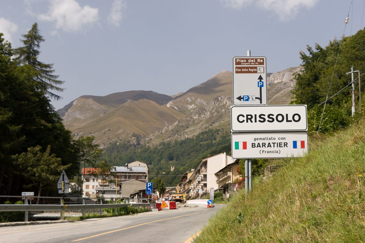
I made it (only had my small day pack, of course), but when I got there I couldn’t see the %$!@ mountain! It was hiding behind some lower hills. Perhaps I would have gotten a better view up the road from Crissola, but a) I was exhausted already, and too much sun, and b) the only bus back was at 14:45. By the time I got some wine and water to accompany my focaccia, cheese, and prosciutto it was already nearly 14:00, and I had no desire to wait another three hours for a bus at 17:45.
So I had my modest picnic and caught the next bus down the mountain. Not really the alpine trek I had in mind, but at least good exercise.
Found two new uses for my GPS device. First, to help me know which unmarked bus stop is the one I want, and secondly, to provide an impromptu map when the bus I want doesn’t go on Wednesdays and I decide to hike off into the mountains on the spur of the moment.


Howdy. Outer space does come in handy (GPS) sometimes. Better read closer, may wind up in the middle of a lake without boat.